An 11.3 km linear trail linking Graciosa's interior to Praia, along its water-architecture heritage.
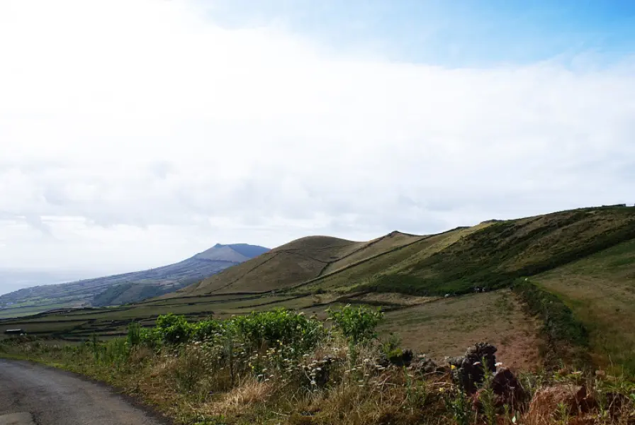
The PR01GRA Arquitetura da Água I is an 11.3 km linear walking route of medium difficulty, taking about 3 hours. It starts at Pico da Caldeirinha de Pêro Botelho, a volcanic cone formed by lava spatter with a sinkhole about 37 metres deep, and circles its crater; it is a geosite of the UNESCO Global Geopark. The route then reaches Pico Timão, at 398 m the island's second-highest point and another geosite, with wide views over Graciosa and the central islands; its last eruption was less than 2,000 years ago, and its lavas reached the sea on the east coast near Praia.
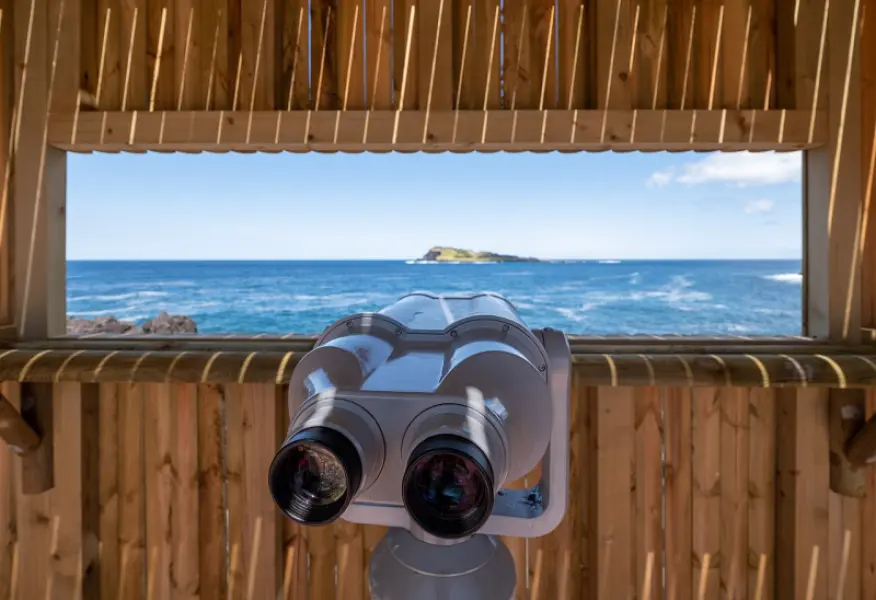
The trail's name refers to how islanders coped with water scarcity. Along the way you pass tanks, cisterns, wash houses and fountains, as well as old clay pipes, and near the end a tidal well that draws water from the basal aquifer. Native and endemic plants such as Erica azorica, Calluna vulgaris and Morella faya grow along the route. It ends at Praia, beside the bathing area and the Ilhéu da Praia, a nature reserve where seabirds nest, among them Monteiro's storm-petrel.
Before setting out, check the trail status and the weather locally, and bring suitable footwear, water and sun protection.
Location
Download the route (GPX) · Visit Azores
Reviews
No reviews yet
Be the first to review this place!