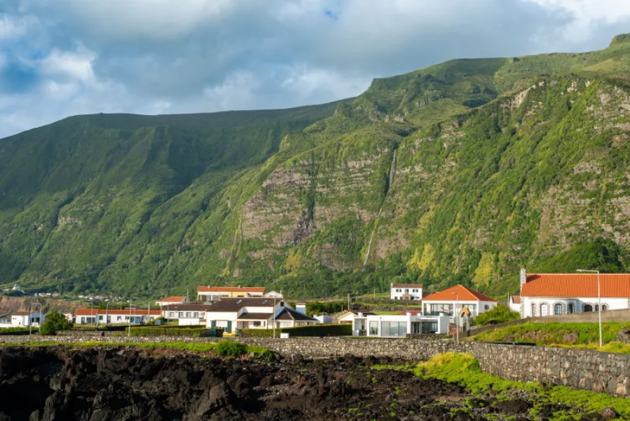
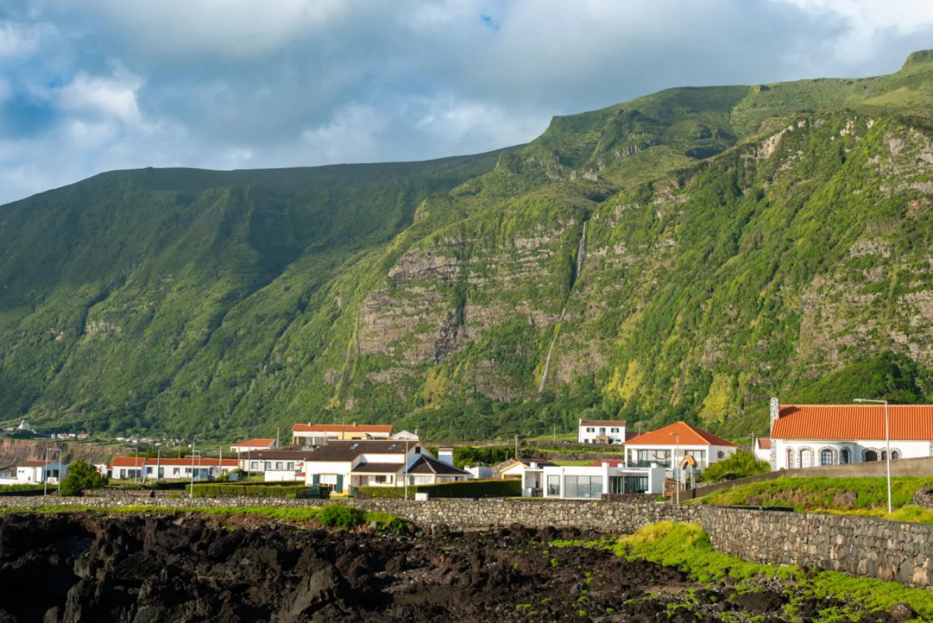
A 3.4 km trail down to Fajã de Lopo Vaz on the south coast of Flores.
The PRC04FLO Fajã de Lopo Vaz trail starts at the picnic area of Fajã de Lopo Vaz on the south coast of Flores, the only land access to the fajã. It is 3.4 km long, takes about 2 hours and is of medium difficulty. It follows the cliff and a stone staircase down to a detrital fajã, a geosite of the Azores Geopark, and you return the same way.
The staircase is credited to the settler Lopo Vaz, after whom the place is named, one of the first places settled on the island. On the south-facing, low-lying fajã the microclimate is warm, with figs, araçás, currants and bananas. Water comes from a cliff more than 350 m high. The fajã and the neighbouring Ponta da Rocha Alta are geosites, formed by landslides from the high cliffs; the area is a nesting site for Cory's shearwater and terns.
The route lies in the Costa Sul e Sudoeste protected area, also a Natura 2000 special protection zone. There is a risk of falling rocks and the path runs beside coastal cliffs, so pay attention, wear suitable footwear and check the state of the trail locally.
Location
Download the route (GPX) · Visit Azores
Reviews
No reviews yet
Be the first to review this place!