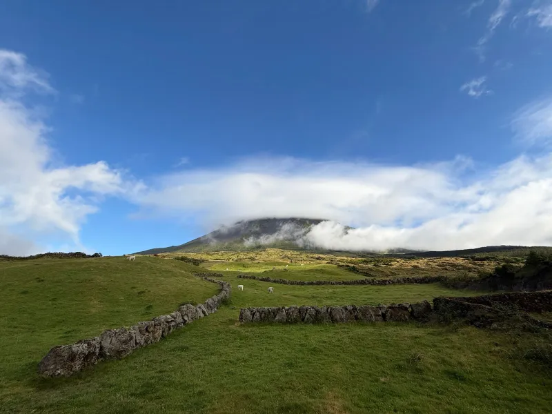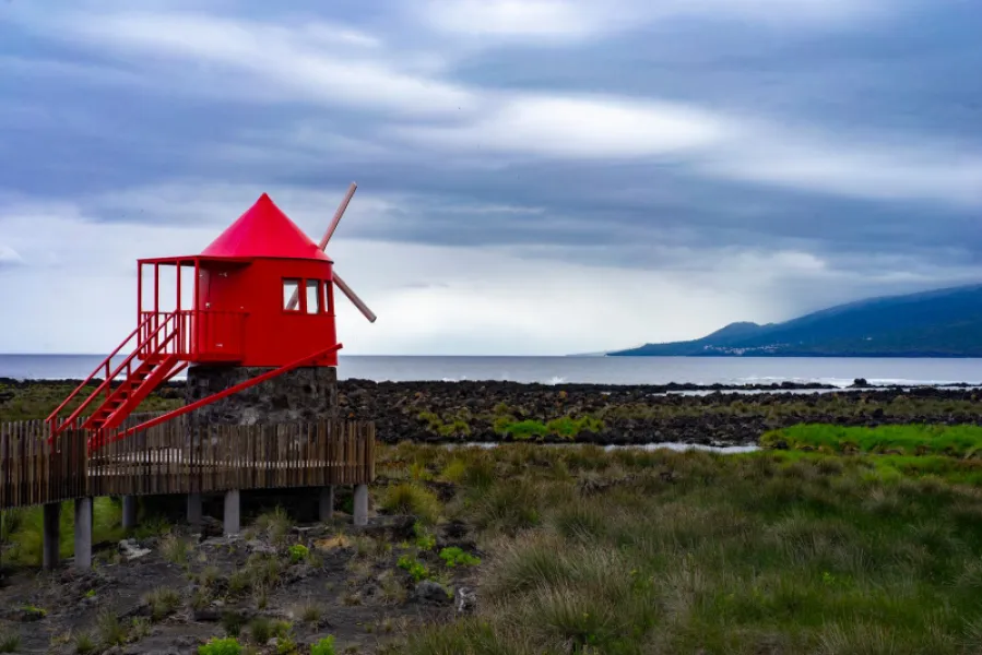
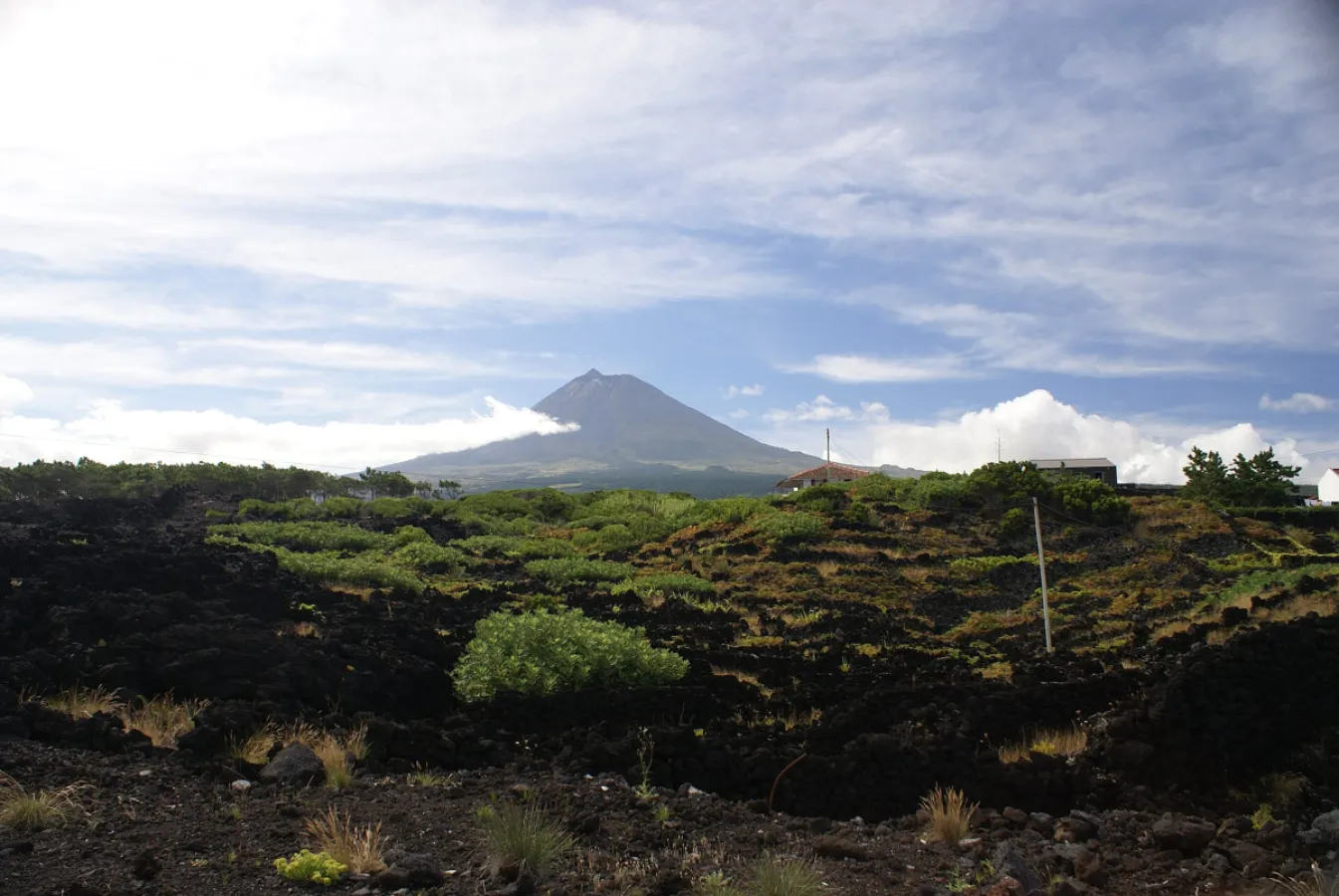
A 9.4 km trail through UNESCO vineyards and the Lajido to Santa Luzia church.
PR1PIC Caminhos de Santa Luzia is a waymarked walking trail of medium difficulty, about 9.4 km and around 3 hours, that starts at Miraguaia and ends at the church of Santa Luzia, in São Roque do Pico. The first part descends to the sea through a UNESCO-listed vineyard landscape, where ox-cart grooves (relheiras) can be seen in the lava, as far as Lajido.
At Lajido a visit to the museum is recommended, and there are geological formations nearby worth seeing. The path then climbs, passing Forno dos Frades, until it meets the regional road, which it follows for about 500 m to the church. There you turn right onto a dirt track through woodland of incense trees, heather and other species, in a looping stretch that returns to the church.
The trail crosses a protected landscape and walkers are asked not to pick fruit along the way. Sources give slightly different lengths, so check the trail status before you set off, and take enough water, sun protection and suitable footwear.
Location
Download the route (GPX) · Visit Azores
Reviews
No reviews yet
Be the first to review this place!