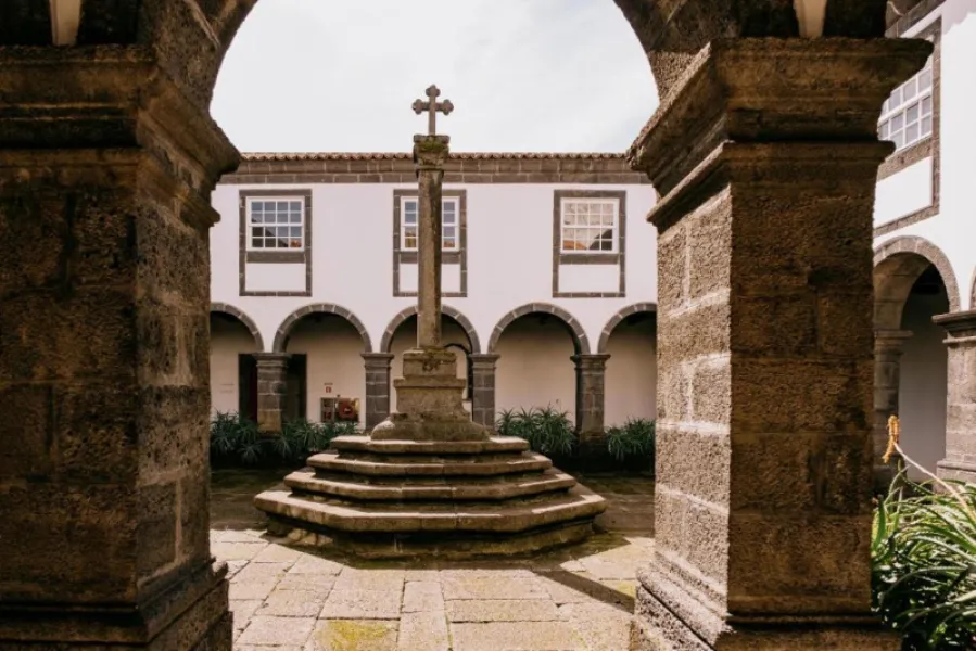
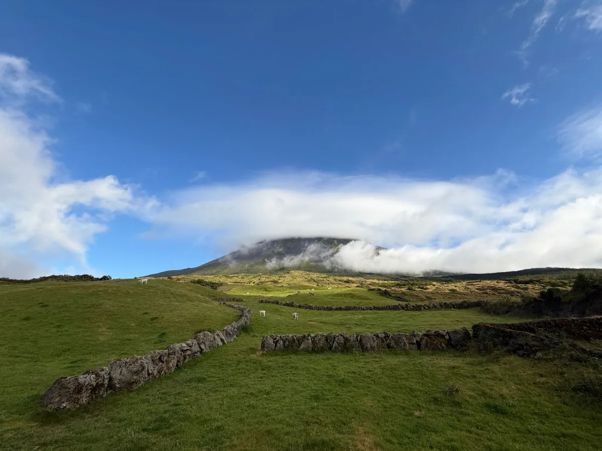
An 8.7 km coastal trail from Santana to the Lajido, passing Gasparal Bay.
PR10PIC Santana – Lajido is an easy linear walking trail of about 8.7 km, taking around 2 h 30 on average. It starts on the regional road near the border between Santana and São Vicente Ferreira, in Santo António parish, São Roque do Pico, and ends at the Lajido, close to the interpretation centre of the UNESCO-listed Pico Island Vineyard Culture Landscape. Before setting off you can visit the whale lookout, reached by a lane on the left.
About 700 m in, the trail turns right onto asphalt and descends through orchards and vineyards to Gasparal Bay, where there is a tidal pool. It then follows the seaside houses towards Ponta Negra, along a lane lined with Australian cheesewood and Azores heather that becomes a shortcut across basalt rock. After the houses of Cabrito, turn right to the Chapel of São Mateus, then continue through the village of Arcos to the Lajido.
Because the route is one-way, plan how you will get back to your starting point. Check the trail status and weather locally, and wear footwear suited to rocky ground.
Location
Download the route (GPX) · Visit Azores
Reviews
No reviews yet
Be the first to review this place!