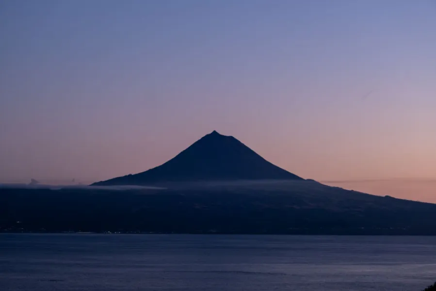

Caminho das Lagoas (PR19PIC): 22 km, easy, about 7 h.
PR19PIC Caminho das Lagoas is an easy linear trail of 22 km, about 7 hours, crossing the central plateau of Pico island. It is an approved route of the official Azores walking-trail network and is waymarked on the ground. It starts on the transversal regional road, near a Forest Services house, and heads east towards Ponta da Ilha, crossing the PR02PIC Caminho dos Burros and the island's wind farm.
From there the first lakes appear, Caiado, Seca and Landroal, followed later by Peixinho and José Inácio. The plateau has peat bogs and endemic vegetation such as Azorean holly, Azores juniper, Azorean laurel and heather, and birds such as the goldcrest, blackbird and woodcock can be spotted. The highest point is near Lagoa Rosada; on clear days São Jorge and Terceira are visible.
Before reaching Lagoa do Paul, the trail turns north and descends a dirt road to the regional road near the Terra Alta viewpoint, where it connects with the PR07PIC and PR18PIC. Given the length and altitude, plan the walk according to your fitness and the weather, avoid it in fog, and check the trail status before you go.
Location
Download the route (GPX) · Visit Azores
Reviews
No reviews yet
Be the first to review this place!