Official waymarked circular walking trail in Água Retorta, São Miguel, of about 5.1 km.
PRC13SMI Água Retorta is a circular, waymarked walking trail of 5.1 km in the parish of Água Retorta, municipality of Povoação, on São Miguel. It takes about 2 h and is rated medium difficulty; the official leaflet quotes 4.8 km. The description, GPS track and leaflet are published on the official Azores trails portal. The route lies close to the protected area for habitat and species management of Faial da Terra, within the São Miguel Natural Park.
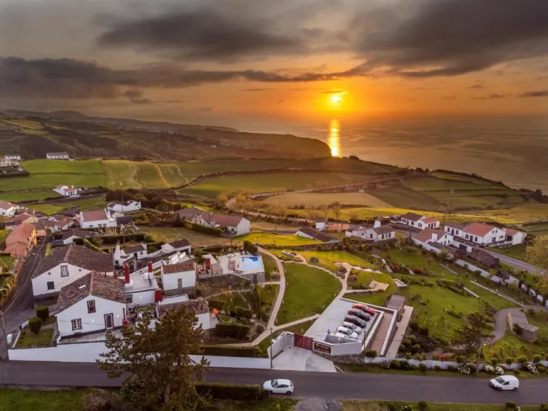
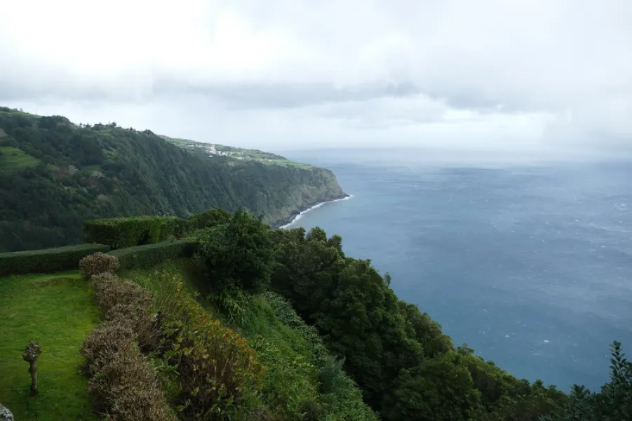
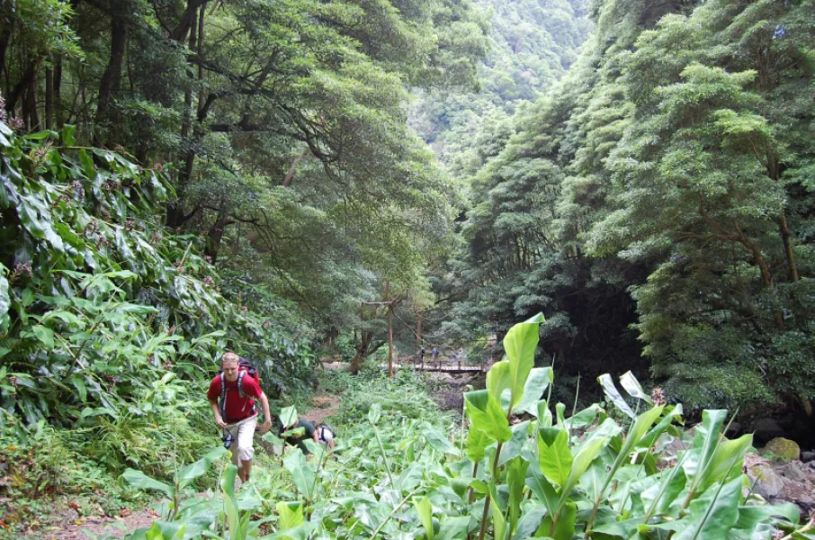
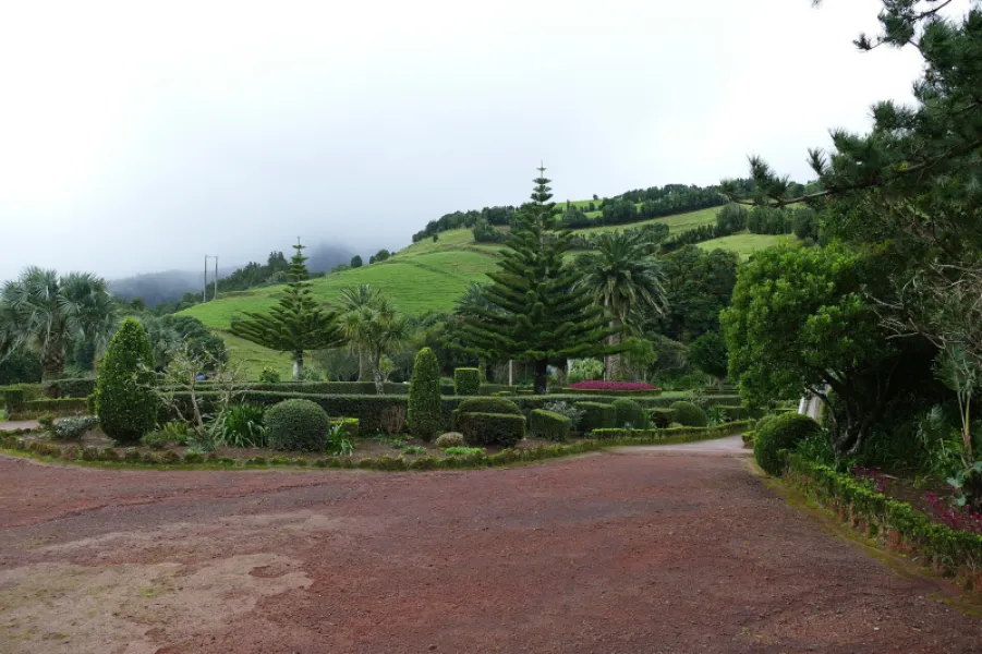
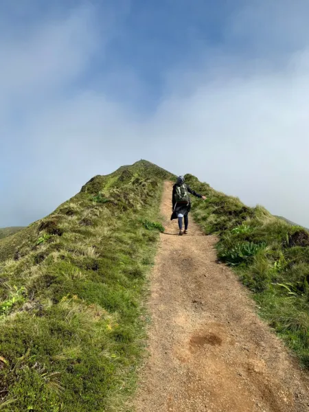
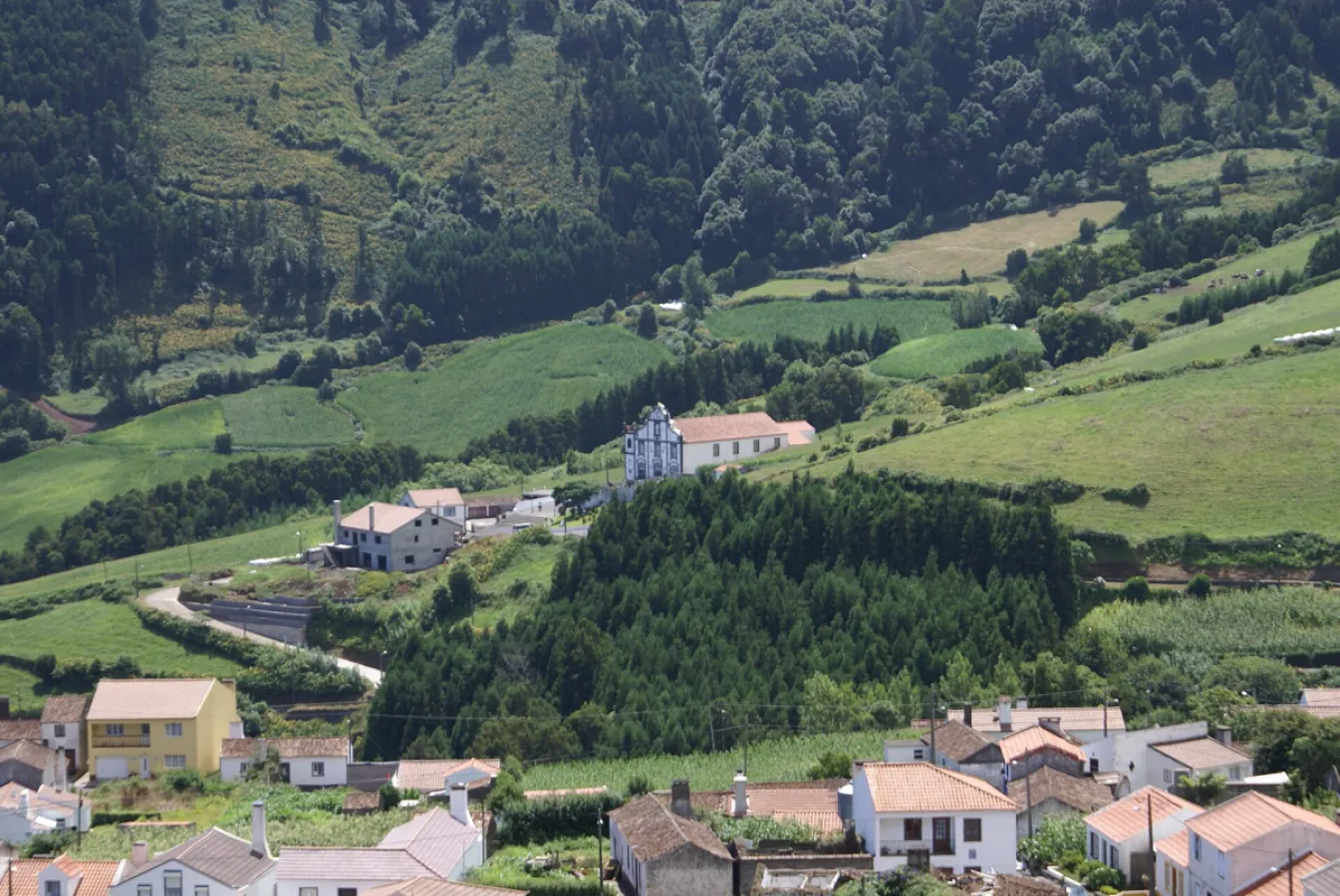
It starts by the church of Nossa Senhora da Penha de França, built between 1871 and 1885 around the bell tower of a 17th-century chapel. You follow the road and then a dirt track through pasture and a small wood, with views over the village centre, Pico Bartolomeu, Pico da Vara and, in good visibility, Santa Maria island. At Fagundas the trail meets PR14SMI Fajã do Calhau. Further on, a track near the sea crosses woodland of Pittosporum and fayatree, with an out-and-back detour to the foot of a waterfall; beyond the stream come pastures and fields bordered by traditional box hedges.
Back in the village, which the leaflet puts at about 500 inhabitants, you pass the ruins of an old windmill once used to grind corn for bread, then a fountain on the road to the church. Tell someone your plan, carry water and suitable footwear, and check trail conditions and weather locally.
Location
Reviews
No reviews yet
Be the first to review this place!