
Ponta da Ilha (PR03PIC): 6.1 km, hard, about 3 h.
PR03PIC Ponta da Ilha is a one-way trail of 6.1 km, rated hard, taking about 3 h on average. It links Calhau to Manhenha, in Piedade parish at the eastern tip of Pico, and belongs to the official Azores walking-trail network, with waymarking on the ground.
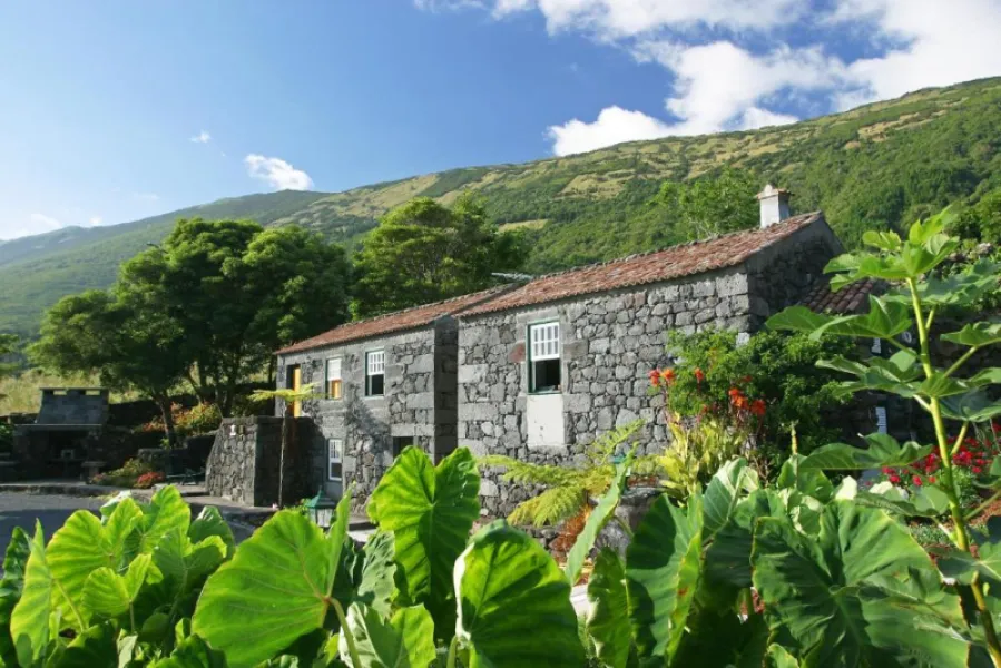
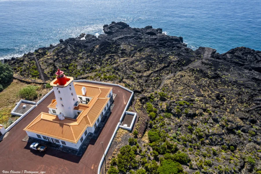
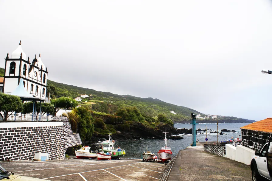
It begins with 200 m up the asphalt road, then turns left onto a lane past the 1854 Chapel of Nossa Senhora de Cima da Rocha. For about 2 km the ground markings cross vineyards and old houses; the trail then follows the sea over uneven basalt rock. After about 1.5 km you climb a stairway and take a gravel path to the houses of Engrade. There you can go straight to Manhenha by road, or keep to the trail that passes a few bays and reaches the Manhenha Lighthouse. From the lighthouse, 700 m of asphalt lead to the Manhenha quay, where the route ends.
As it is one-way, plan your return. The uneven rocky surface calls for sturdy footwear; check the trail condition and weather locally.
Location
Download the route (GPX) · Visit Azores
Reviews
No reviews yet
Be the first to review this place!